

 Not long ago, heading into the backcountry meant unfolding a paper map, orienting it with a compass, and carefully planning your route before taking your first step. Today, most people simply open an app, download a map, and follow the dot.
There’s no question that digital navigation has made travelling in the mountains easier than ever. GPS watches, smartphones, satellite communicators, and mapping apps have become standard equipment for hikers, climbers, skiers, and mountaineers.
But here’s the thing: technology hasn’t replaced navigation. It’s only changed how we navigate.
The most capable mountain travellers don’t choose between digital tools and traditional skills—they use both.
A GPS Shows Your Position. A Map Helps You Understand It.
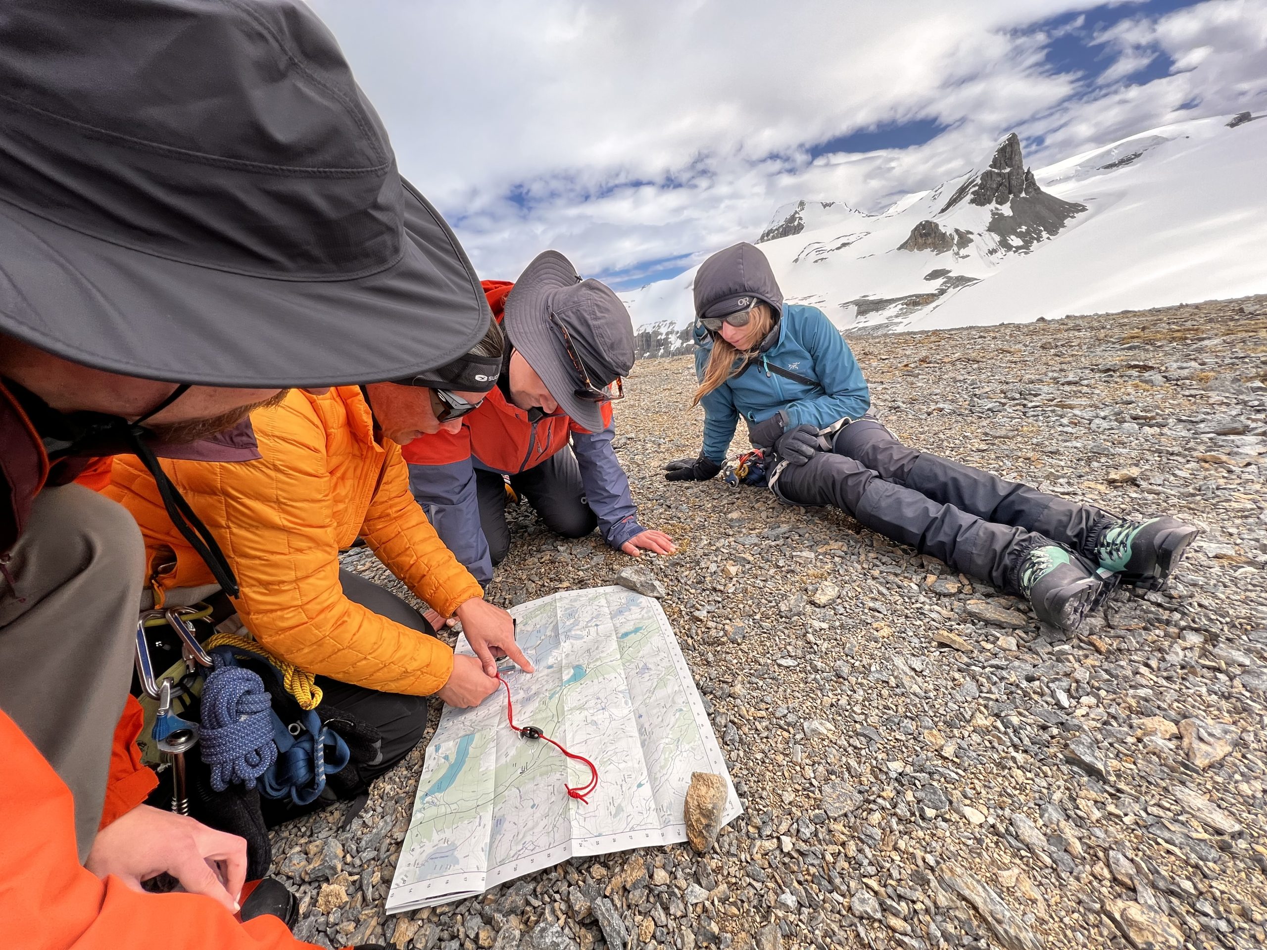 One of the greatest advantages of learning map and compass navigation is that it changes the way you see the landscape. Instead of simply following a line on a screen, you begin to understand how the terrain fits together. Valleys funnel travel. Ridges provide natural handrails. Drainages, cliffs, forests, and passes all become meaningful pieces of a much larger picture. This understanding makes route finding more intuitive and helps you anticipate what lies ahead instead of reacting to it after you arrive.
A GPS can tell you exactly where you are.
A map helps explain why you’re there—and where you should go next.
Electronics Are Reliable… Until They Aren’t
Modern navigation devices are remarkably dependable, but none are infallible.
Cold temperatures shorten battery life. Phones can be dropped onto rocks or into streams. Software occasionally freezes. A downloaded map might not include the area you expected, or you may simply forget to download it before leaving home.
Most of these aren’t dramatic failures. They’re small oversights that suddenly become significant once you’re hours from the trailhead.
A paper map doesn’t need charging.
A compass doesn’t require software updates.
When conditions become less than ideal, these simple tools continue working exactly as they always have.
Navigation Is Really About Decision Making
Many people think navigation is simply knowing where you are. In reality, it’s about making good decisions before you get lost. Should you climb the ridge or contour below it? Is that valley the one you intended to follow? How much elevation still remains before reaching the pass? Would another route avoid avalanche terrain or difficult creek crossings?
These are questions that require understanding terrain—not just location.
Learning to read contour lines and recognize landscape features gives you the ability to make informed choices instead of relying entirely on an electronic track.

Looking Up Instead of Looking Down
Have you ever noticed how easy it is to become glued to your phone while hiking? When we rely exclusively on GPS, our attention naturally shifts toward the screen. Traditional navigation encourages the opposite. You constantly compare what you see around you with what appears on the map. Mountain peaks become reference points. Creeks confirm your position. Hillsides, benches, and gullies all provide clues that reinforce your understanding of where you are. Rather than following instructions, you’re actively reading the landscape. It’s a subtle shift, but one that often leads to greater confidence and awareness.
Traditional Skills Build Confidence
There’s something satisfying about navigating successfully with a map and compass. It isn’t because the tools are old-fashioned. It’s because they require understanding.
Once you know how to orient a map, take a bearing, estimate distance, and identify terrain features, you become less dependent on any single piece of equipment.
That confidence carries into every mountain objective—whether you’re hiking a popular trail or planning a remote alpine traverse.
Digital Navigation Is Still an Essential Tool
This isn’t an argument against technology….Quite the opposite.
Digital mapping has transformed backcountry travel for the better. GPS makes confirming your location fast and accurate. Satellite imagery helps with trip planning. Route recording allows you to review your day or retrace your steps when necessary. Satellite communicators have also added an important layer of emergency preparedness.
These are tremendous advances.
The key is remembering that they work best when supported by solid navigation fundamentals. Think of it as building layers of redundancy rather than putting all your trust in one device.
Mountain Skills Never Go Out of Style
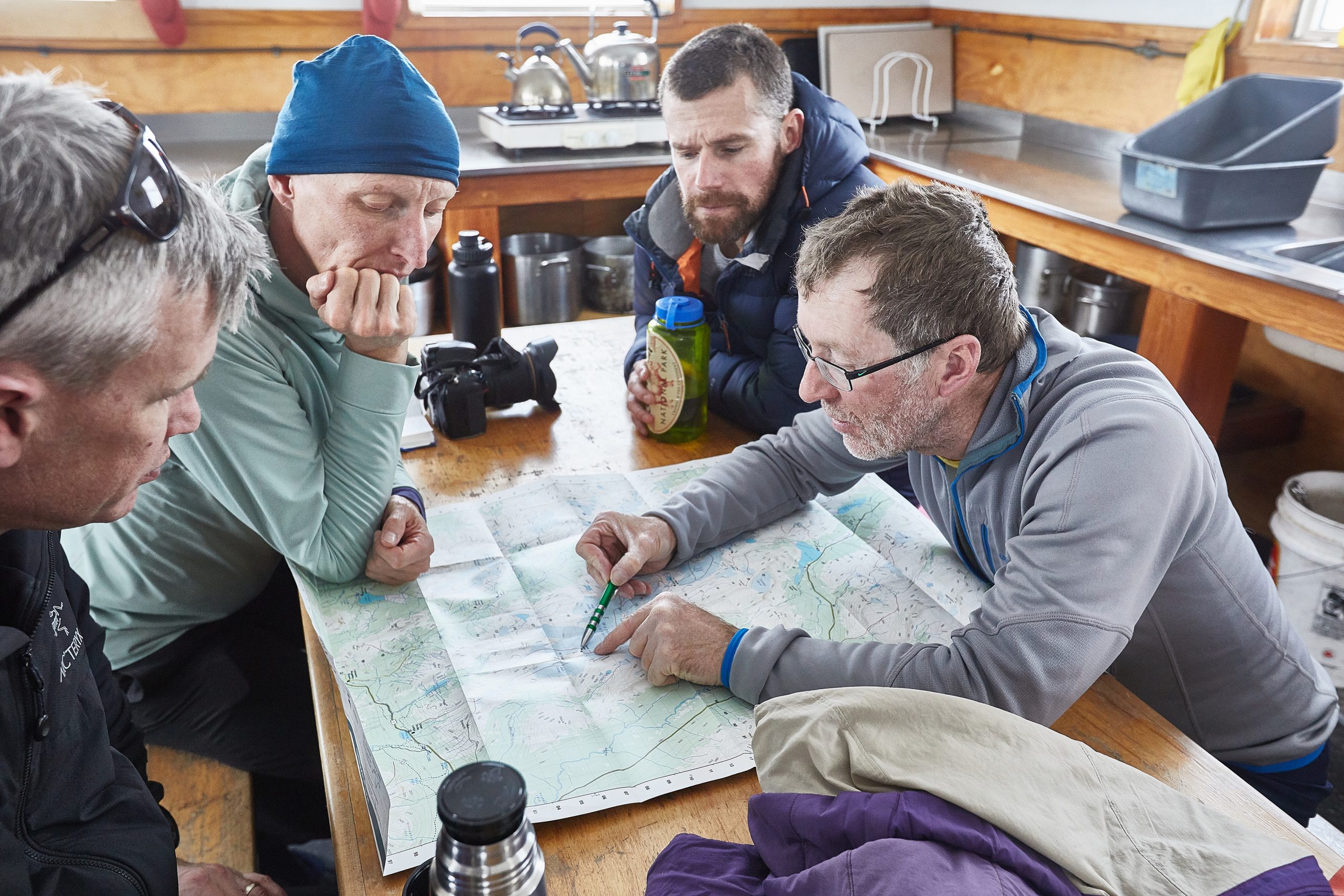 Mountain environments haven’t become simpler because our electronics have become smarter.
Weather still changes unexpectedly. Visibility can disappear in minutes. Trails become buried under fresh snow. Landmarks look different in the dark.
Good navigation has always been about observing, interpreting, and adapting to changing conditions. Those principles remain just as relevant today as they were decades ago.
Technology has given us better tools—but it hasn’t eliminated the need for good judgement.
Learn the Fundamentals
Whether your goal is hiking, scrambling, ski touring, mountaineering, or alpine climbing, map and compass skills remain one of the most valuable foundations you can develop.
Once you understand how to interpret a topographic map, navigate confidently with a compass, and relate both to the terrain around you, you’ll find yourself travelling through the mountains with greater awareness and confidence—even when your GPS is working perfectly.
Our Navigation 1 – Back to Basics with Map & Compass course focuses on exactly these practical skills. Through hands-on instruction in real mountain terrain, you’ll learn how to read topographic maps, use a compass effectively, plan routes, and build the confidence to navigate independently.
Because the best navigators don’t rely on one tool. They understand the landscape itself.
Leave a Reply